|
Pacific Rim Hiking - British Columbia - 2008 |
|
|
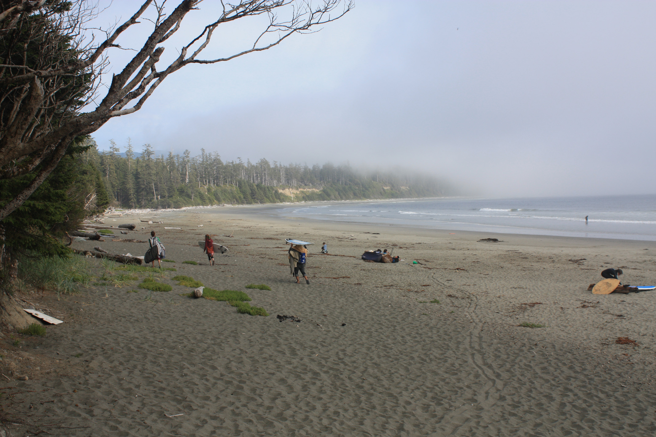
Beach walk between Ucluelet and Tofino. Late afternoon fog rolling in. |
|
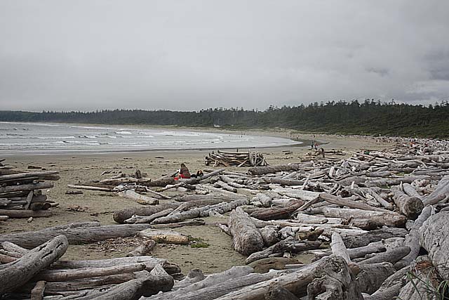
Beach near Wickaninnish Interpretive Center. |
|
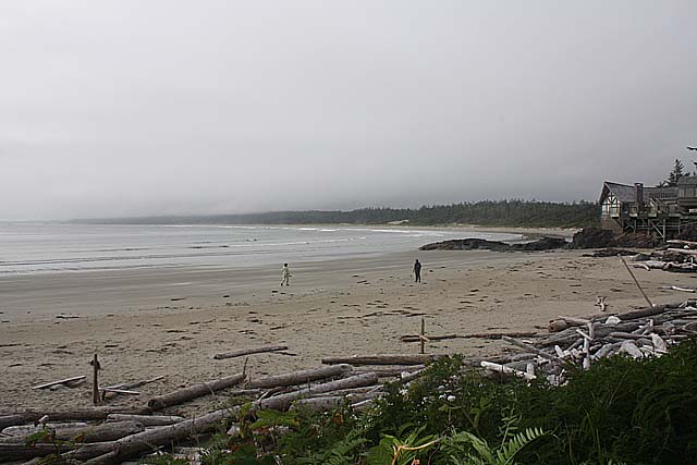
Beach near Wickaninnish Interpretive Center |

|
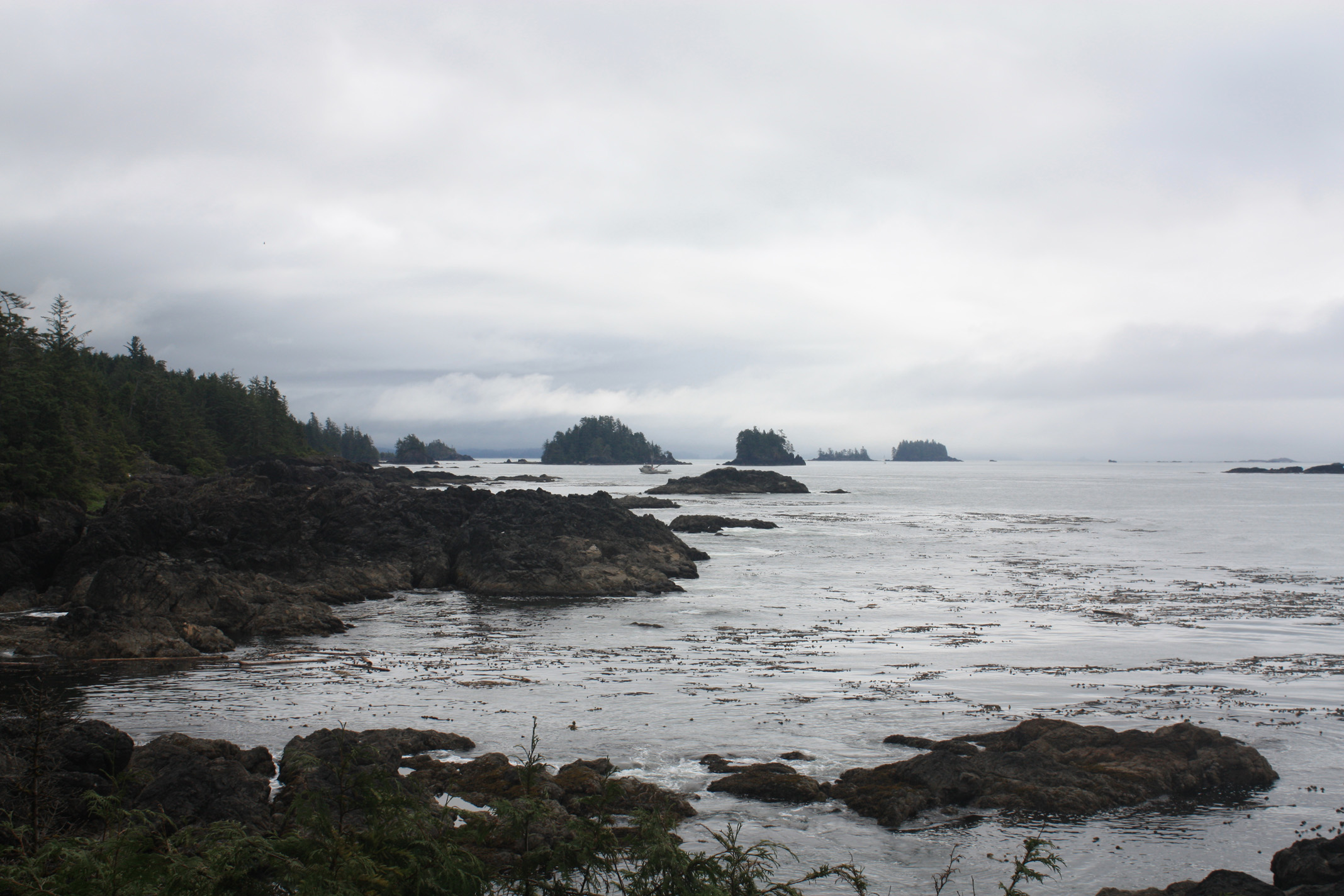
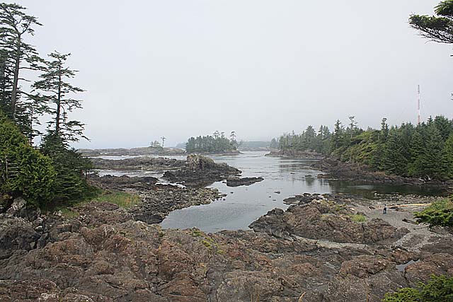
Wild Pacific Trail south of Ucluelet Next morning. |
|
Wild Pacific Trail south of Ucluelet |

|
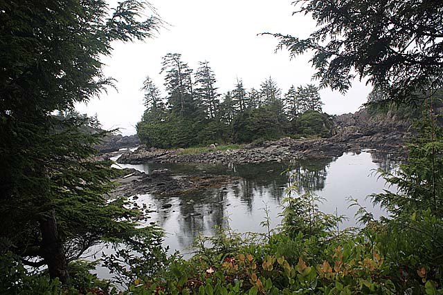
Wild Pacific Trail |
|
Wild Pacific Trail |
|
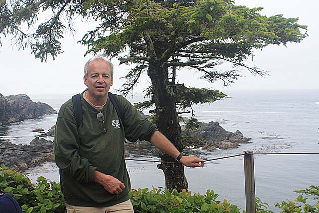
Wild Pacific Trail |
|
The fellow who took the picture lives here! How lucky can you get? |

|
Wild Pacific Trail |
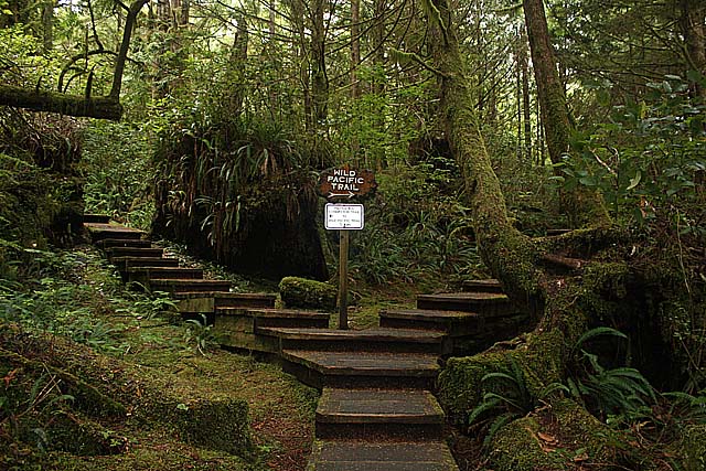 |
Wild Pacific Trail |
| Nat Hager III - 2008 Aug 30 |